City route guide
United Arab Emirates flag

Sharjah

Drive from the Heart of Sharjah across Mleiha’s archaeological landscape to mountain-framed Al Rafisah Dam and Khorfakkan.

0 Available cars On request From price 1 Driving routes
Find cars for this route
Plan your drive

Choose a route from Sharjah

This cross-emirate route needs a full tank and an early start. An SUV is recommended for comfort and mountain approaches, while the itinerary remains on public roads.

Selected route

Sharjah heritage to the Khorfakkan east coast

Travel from the Heart of Sharjah via Sharjah Mosque and Mleiha to Al Rafisah Dam and the Khorfakkan Amphitheatre on the Gulf of Oman.

Open complete route in Google Maps
145.8 km Distance 2 hr 25 min Drive time 3 Stops
Route follows saved road geometry

Route stops

5 places
  1. 1
    Start · 0 min Heart of Sharjah Open point
  2. 2
    Stop · 35 min Sharjah Mosque Open point
  3. 3
    Stop · 90 min Mleiha Archaeological Centre Open point
  4. 4
    Scenic place · 45 min Al Rafisah Dam Open point
  5. 5
    Finish · 75 min Khor Fakkan Amphitheatre and Corniche Open point
Route journal

Places to discover along the way

Explore the landmarks, viewpoints and local stories that make this drive from Sharjah worth taking slowly.

Sharjah Mosque on the Sharjah to Khor Fakkan driving route
Photo source: Wikimedia Commons
Stop · 35 min stop

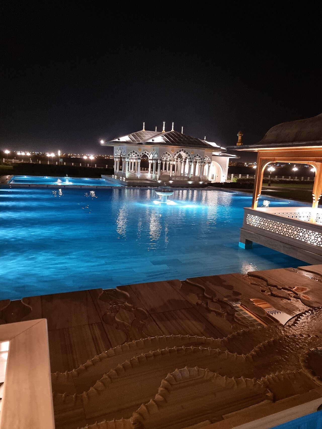
Sharjah Mosque

Sharjah Mosque is a large contemporary landmark on the eastern side of the city, marked by domes, minarets, and landscaped grounds. Visitor access should follow current worship times and local guidance.

View place on Google Maps
Mleiha Archaeological Centre on the Sharjah to Khor Fakkan driving route
Photo source: Wikimedia Commons
Stop · 90 min stop

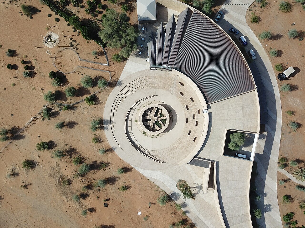
Mleiha Archaeological Centre

Mleiha Archaeological Centre interprets ancient settlement, burial sites, and desert history around a major excavated tomb. The surrounding landscape also introduces the geology of inland Sharjah.

View place on Google Maps
Al Rafisah Dam on the Sharjah to Khor Fakkan driving route
Photo source: Wikimedia Commons
Scenic place · 45 min stop

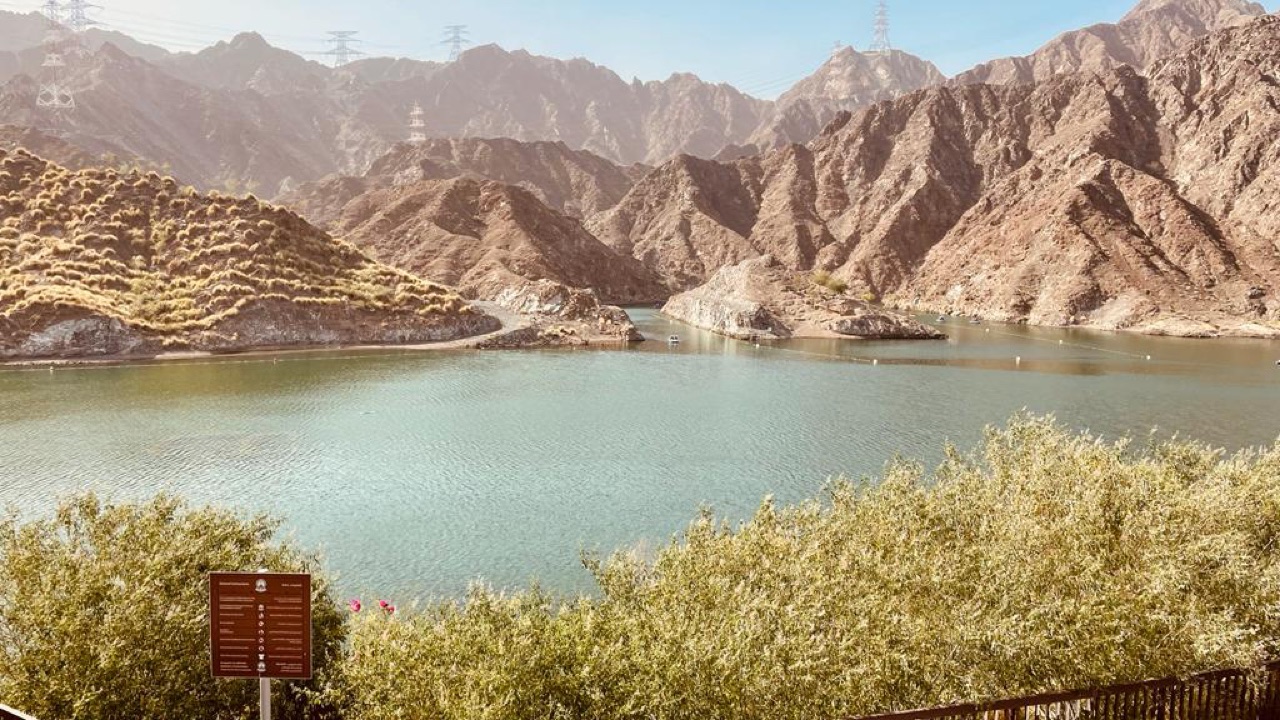
Al Rafisah Dam

Al Rafisah Dam creates a mountain reservoir beside the road to Khor Fakkan, with landscaped viewpoints and family facilities. Pull into the designated parking area rather than stopping on the highway.

View place on Google Maps
Khor Fakkan Amphitheatre and Corniche on the Sharjah to Khor Fakkan driving route
Photo source: Wikimedia Commons
Finish · 75 min stop

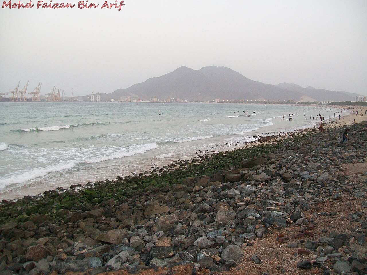
Khor Fakkan Amphitheatre and Corniche

Khor Fakkan’s amphitheatre and corniche sit between the Hajar Mountains and the Gulf of Oman. End the route with a waterfront walk, beach views, and the amphitheatre precinct nearby.

View place on Google Maps
Route-ready vehicles

Recommended car examples

No matching live offer is available yet. These reference cards help visitors choose the right class.

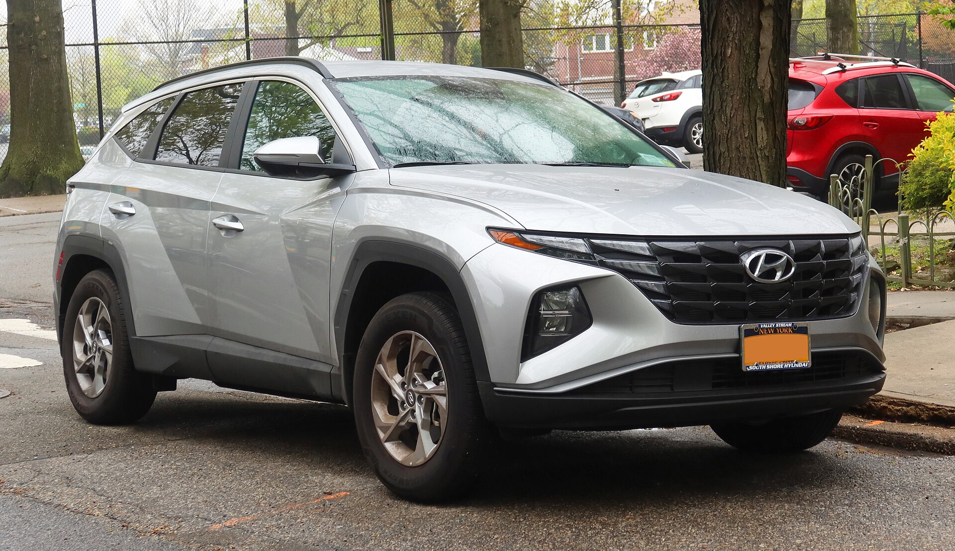
Hyundai Tucson or similarExample
SUV

Hyundai Tucson or similar

A versatile editorial example for mountain roads, luggage, and changing conditions.

5 seatsCheck live availability
Find this class
Recommended for this routeSUV
Find cars for this route

Cross the landscape of Sharjah

The route reveals the emirate’s range, from Gulf trading history to archaeological desert sites and the mountains that separate the west and east coasts.

Book enough time for Mleiha

The archaeological centre is more rewarding with a guided or scheduled experience. Confirm current programmes before building the day around it.

Watch the return schedule

Mountain highways are modern but require attention. Plan the drive back before fatigue and do not stop on unsafe shoulders for photographs.

Route planning

Frequently asked questions

Photo credits and licenses