City route guide
Turkey flag

Istanbul

Collect a car in Istanbul for a carefully timed route from the historic peninsula to Bosphorus landmarks and the forests near the Black Sea.

0 Available cars On request From price 1 Driving routes
Find cars for this route
Plan your drive

Choose a route from Istanbul

Istanbul traffic can change quickly. Start early, use official parking near central landmarks, and treat estimated driving time as a minimum rather than a promise.

Selected route

Bosphorus viewpoints and Black Sea escape

Connect Sultanahmet, Galata, Ortakoy, Rumeli Fortress, and Belgrad Forest for an Istanbul route that moves from imperial history to the green northern edge.

Open complete route in Google Maps
40.7 km Distance 1 hr 5 min Drive time 3 Stops
Route follows saved road geometry

Route stops

5 places
  1. 1
    Start · 0 min Sultanahmet Square Open point
  2. 2
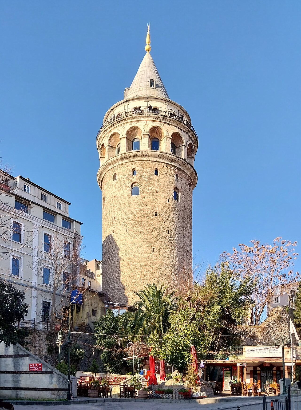
    Stop · 50 min Galata Tower Open point
  3. 3
    Scenic place · 35 min Ortakoy waterfront Open point
  4. 4
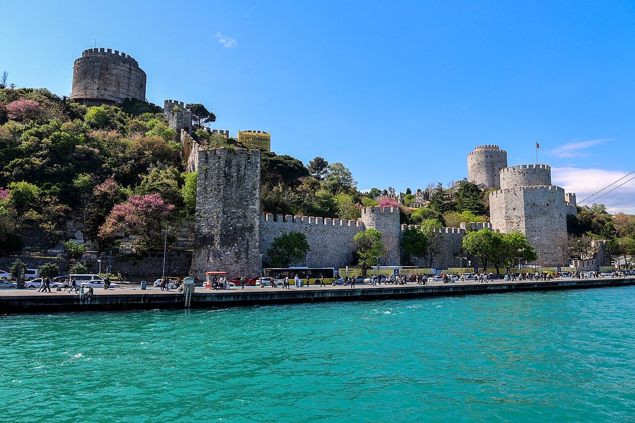
    Stop · 50 min Rumeli Fortress Open point
  5. 5
    Finish · 75 min Belgrad Forest Open point
Route journal

Places to discover along the way

Explore the landmarks, viewpoints and local stories that make this drive from Istanbul worth taking slowly.

Sultanahmet Square on the Istanbul Bosphorus drive driving route
Photo source: Wikimedia Commons
Start · 0 min stop

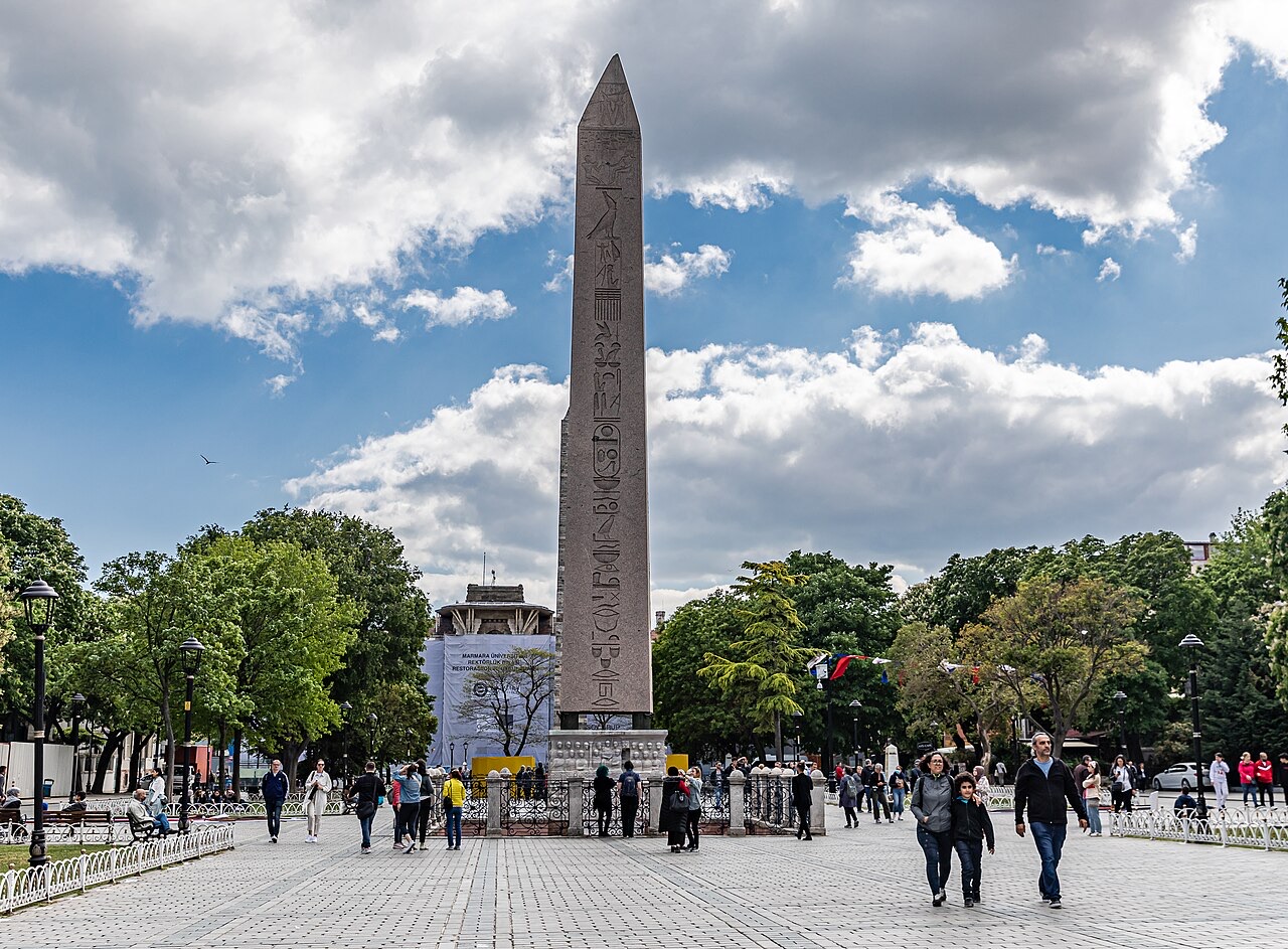
Sultanahmet Square

Sultanahmet Square brings together the historic Hippodrome area and views toward Istanbul’s major Byzantine and Ottoman landmarks. Start early because access, traffic, and parking become difficult later in the day.

View place on Google Maps
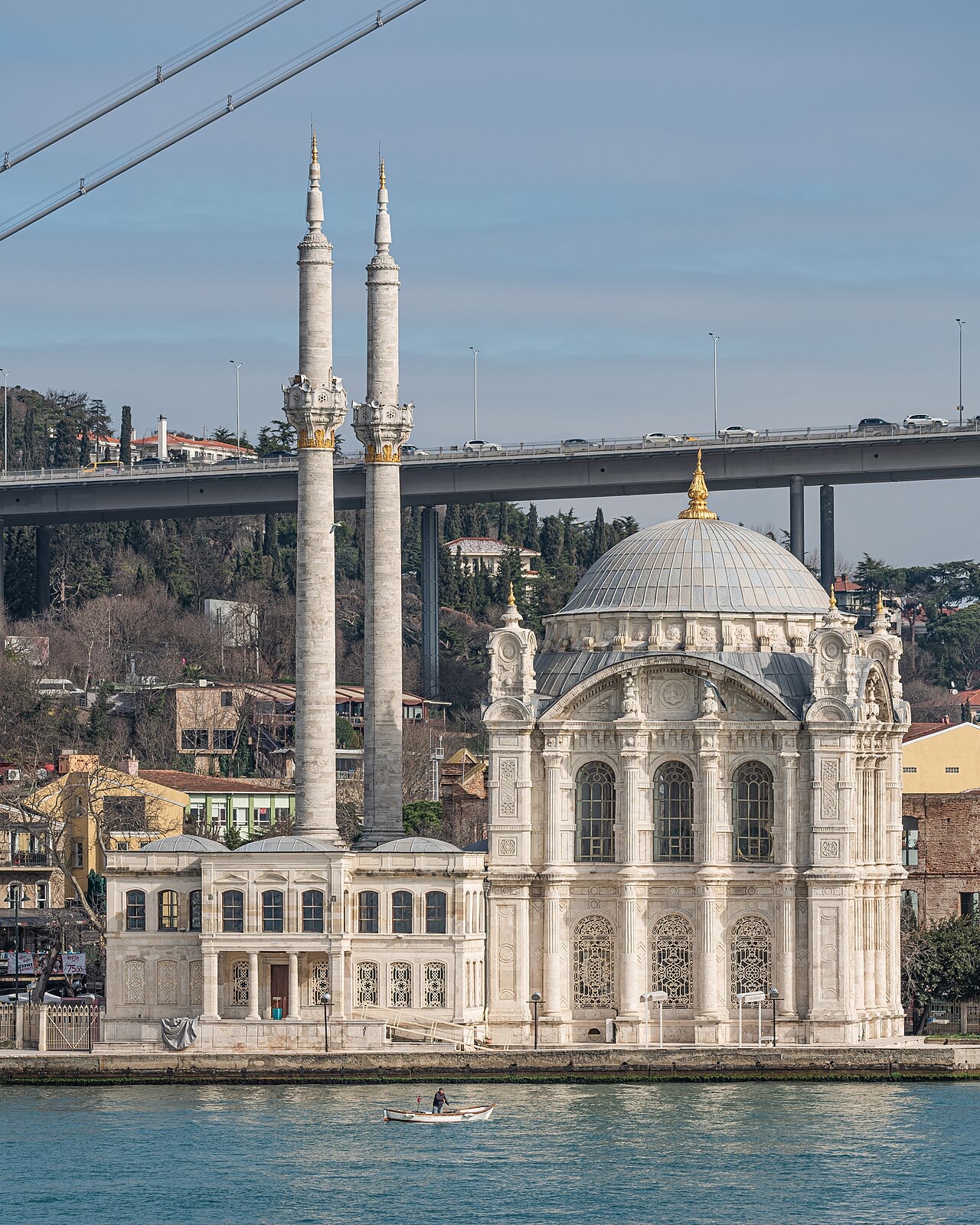
Ortakoy waterfront on the Istanbul Bosphorus drive driving route
Photo source: Wikimedia Commons
Scenic place · 35 min stop

Ortakoy waterfront

Ortaköy waterfront frames its mosque against the Bosphorus Bridge and constant maritime traffic. The compact square is ideal for a short waterside walk and a classic Istanbul photograph.

View place on Google Maps
Belgrad Forest on the Istanbul Bosphorus drive driving route
Photo source: Wikimedia Commons
Finish · 75 min stop

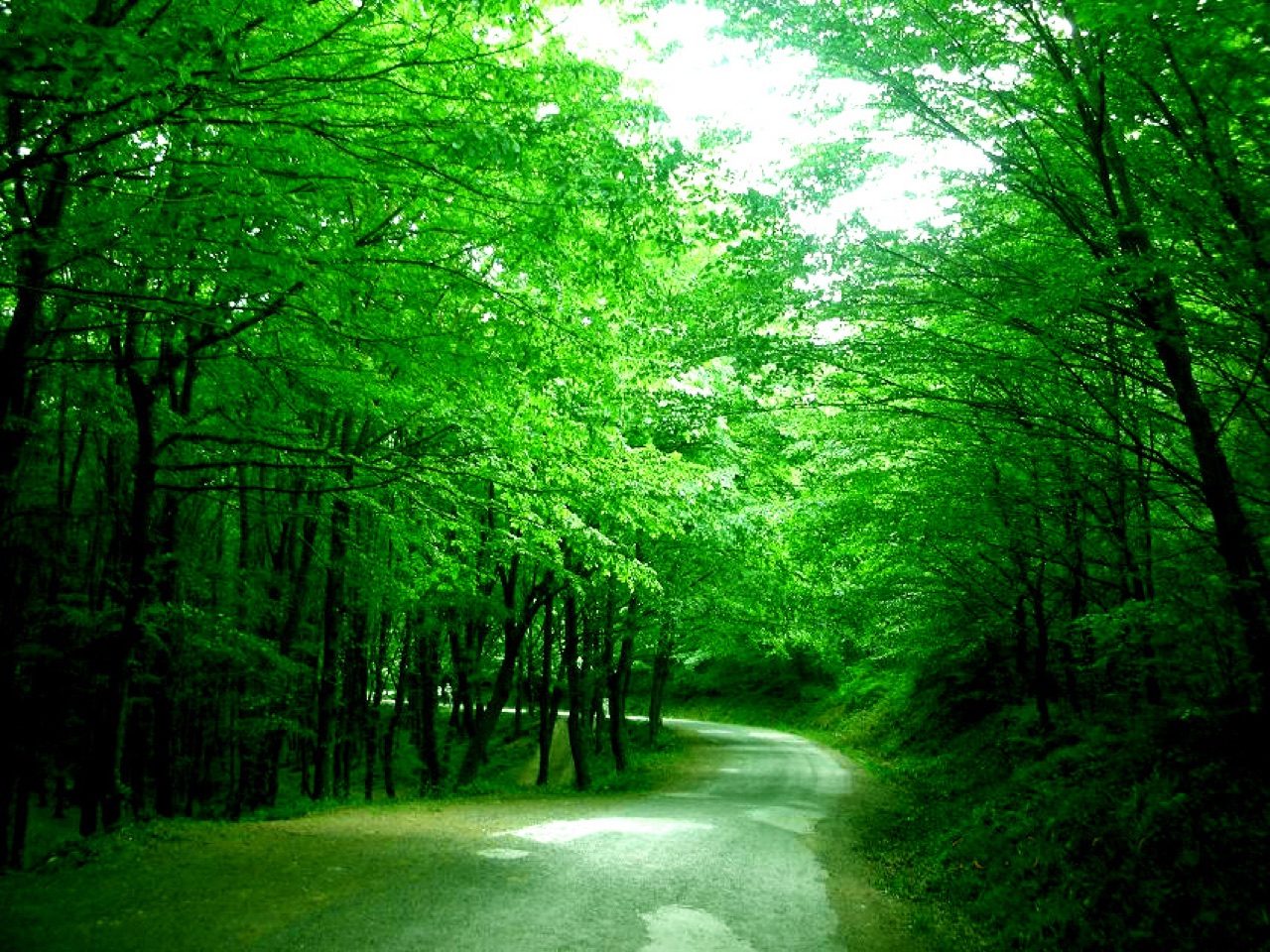
Belgrad Forest

Belgrad Forest replaces dense city streets with woodland roads, reservoirs, and marked walking areas on Istanbul’s northern edge. Finish with daylight for an easier drive and a relaxed trail stop.

View place on Google Maps
Route-ready vehicles

Recommended car examples

No matching live offer is available yet. These reference cards help visitors choose the right class.

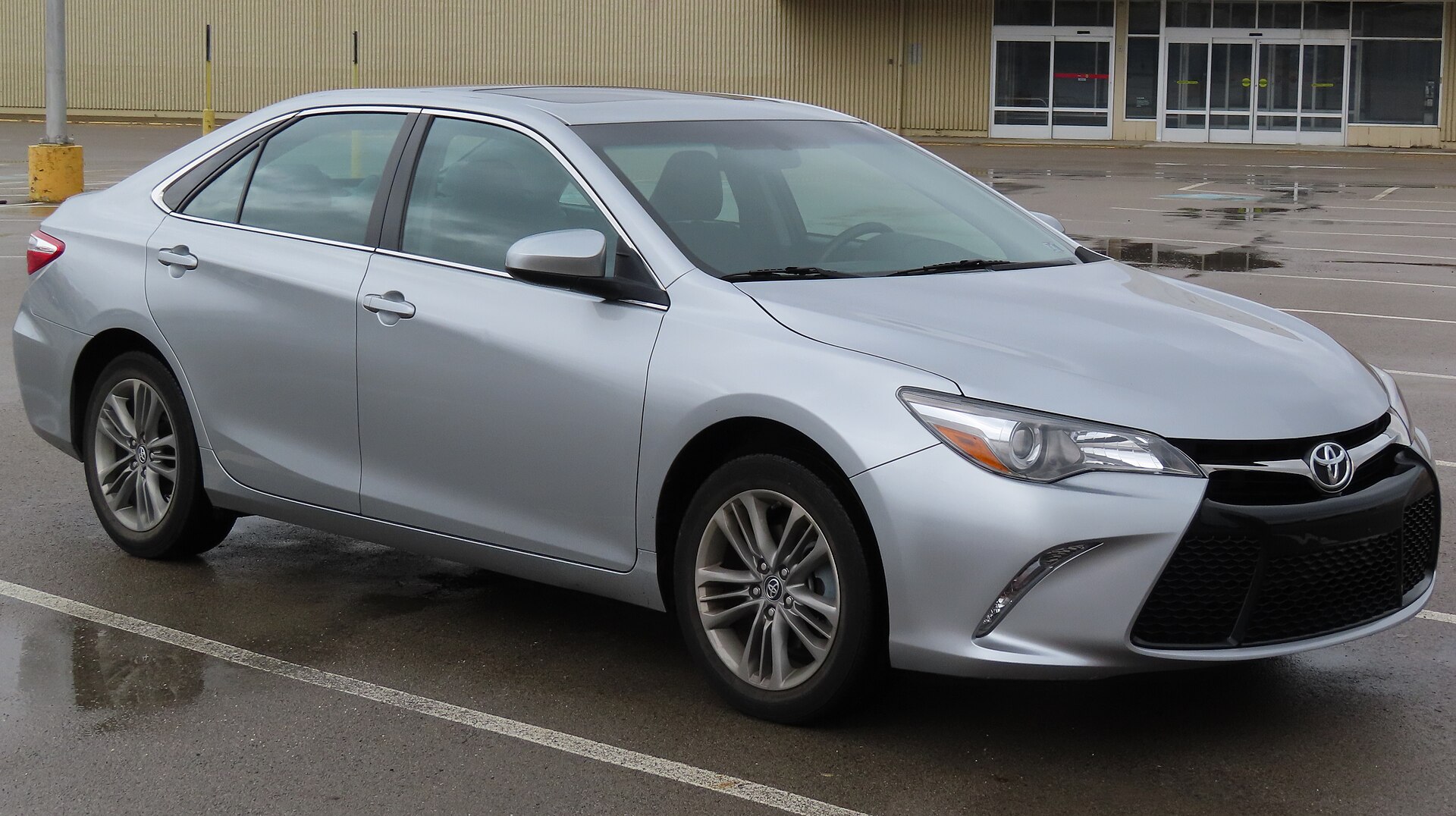
Toyota Camry or similarExample
Comfort

Toyota Camry or similar

A comfortable editorial example for city traffic and longer highway sections.

5 seatsCheck live availability
Find this class
Recommended for this routeComfort
Find cars for this route

Drive Istanbul strategically

The car is most useful when the route reaches beyond the central tourist core. For Sultanahmet and Galata, park once and continue on foot rather than searching for curb space.

Time the Bosphorus section

Cross-city traffic and bridge approaches are busiest around commuting hours. Keep the route flexible and use live navigation before each leg.

Finish in nature

Belgrad Forest gives the itinerary a different final chapter with shaded walks and picnic areas. Check gate hours and return traffic before staying late.

Route planning

Frequently asked questions

Photo credits and licenses